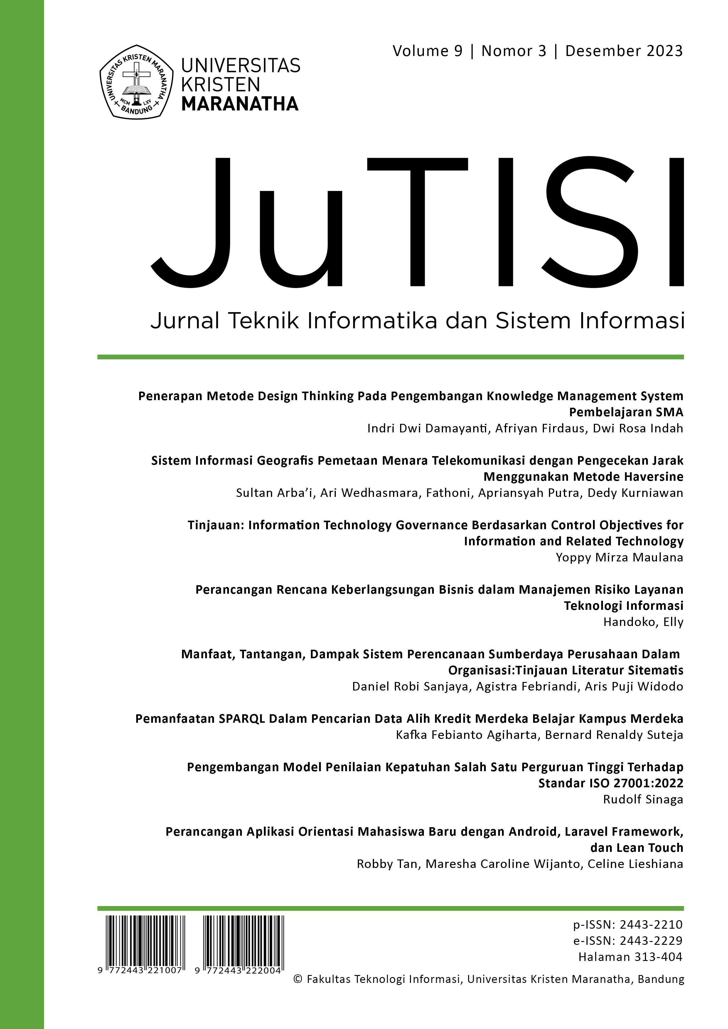
Geographical Information System Mapping Telecommunication Towers by Checking The Distance Using The Haversine Method
Main Article Content
Abstract
DISKOMINFO OKU Regency provides recommendations for the establishment of telecommunication towers. Then do the planning and arrangement of telecommunication towers. However, this is still done manually based on map visualization in printed books, so when changes occur, you have to reprint the book, and you have to re-plan with Microsoft Excel, which makes the process more difficult and time consuming. In addition, there is no digital tower information service causing a lack of information for tower providers, so that the construction of towers has not been properly organized. So the solution to this problem is to build a system that can manage data, can map telecommunication towers and can plan the need for shared towers for the next 5 years by taking into account population, cellular service users, traffic requirements, number of BTS and tower coverage radius, and can provides information on checking coordinates by applying the haversine method which is useful so that the construction of new towers can be properly arranged in the system, where the system is made based on a website with a design using the waterfall method. The results of this study are an application that can assist the process of planning and arrangement of towers, both visual maps, tower requirements, checking coordinates and so on, which is done computerized.
Downloads
Download data is not yet available.
Article Details
How to Cite
[1]
S. Arba’i, A. . Wedhasmara, F. Fathoni, A. Putra, and D. Kurniawan, “Geographical Information System Mapping Telecommunication Towers by Checking The Distance Using The Haversine Method”, JuTISI, vol. 9, no. 3, pp. 326 –, Jan. 2024.
Section
Articles

This work is licensed under a Creative Commons Attribution-NonCommercial 4.0 International License.
This is an open-access article distributed under the terms of the Creative Commons Attribution-NonCommercial 4.0 International License (https://creativecommons.org/licenses/by-nc/4.0/) which permits unrestricted non-commercial used, distribution and reproduction in any medium.
This work is licensed under a Creative Commons Attribution-NonCommercial 4.0 International License.

